hdl:10013/epic.38694
Vector Map Level 1 converted to PanMap layer format
Contact
epicdocumentation [ at ] awi.de
Abstract
Item Type
PANGAEA Documentation
Authors
Divisions
Programs
Publication Status
Published
Eprint ID
30069
Cite as
NIMA,
and
USGS,
(2008):
Vector Map Level 1 converted to PanMap layer format
,
Maryland,
National Imagery and Mapping Agency
.
Download
Cite this document as:
Cite this document as:
Cite this document as:
Cite this document as:
Cite this document as:
Cite this document as:
Cite this document as:
Cite this document as:
Cite this document as:
Cite this document as:
Cite this document as:
Cite this document as:
Cite this document as:
Cite this document as:
Cite this document as:
Share
Geographical region
Research Platforms
Campaigns
N/A
Actions
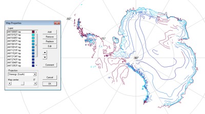
![[thumbnail of ANTARKTI.png]](https://epic2-clone.awi.de/30069/11.hassmallThumbnailVersion/ANTARKTI.png)
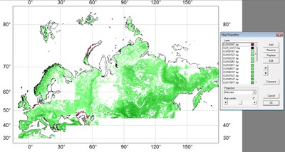
![[thumbnail of EURNASIA.png]](https://epic2-clone.awi.de/30069/12.hassmallThumbnailVersion/EURNASIA.png)
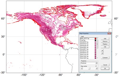
![[thumbnail of NOAMER.png]](https://epic2-clone.awi.de/30069/13.hassmallThumbnailVersion/NOAMER.png)
![[thumbnail of SASAUS.png]](https://epic2-clone.awi.de/30069/14.hassmallThumbnailVersion/SASAUS.png)
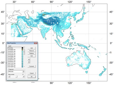
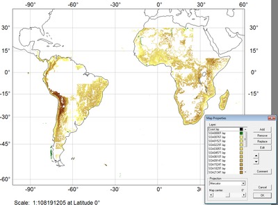
![[thumbnail of SOAMAFR.png]](https://epic2-clone.awi.de/30069/15.hassmallThumbnailVersion/SOAMAFR.png)
